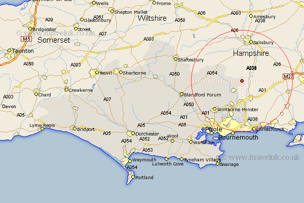
Dorset Map Showing Location of Alderholt
Population: 2825
Area Size (ha): 83
District: East Dorset
Easting: 411714 Northing: 113100
Latitude: 50.92 Longitude: -1.83
 = Alderholt
Area Size (ha): 83
District: East Dorset
Easting: 411714 Northing: 113100
Latitude: 50.92 Longitude: -1.83
= Alderholt
This Alderholt map below is supplied by Google. Use the tools in the top left corner to zoom into street level or zoom out for a road map, you may also need to zoom in to see Alderholt on the map. Click and drag the map to move around. If the map fails to load try and refresh your browser or zoom in or out (+ or -).
Update - it seems Google no longer allow people to use their maps for free! This Alderholt map sometimes loads and sometimes gives a error. I am working on a solution.
Closest 30 Towns or Cities to Alderholt (Population over 500)
Verwood 6.03km Cranborne 6.13km St Leonards 9.35km St. Leonards 9.35km Saint Leonards 9.35km Horton 11.04km West Moors 12.06km Handley 12.25km Ferndown 13.18km Fern Down 13.18km Wimborne 15.86km Wimborne Minster 15.86km Parley 16.84km West Parley 16.84km Tarrant Monkton 18.39km Corfe Mullen 20.42km Christchurch 20.92km Burton 21.22km Pimperne 21.36km Sturminster Marshall 22.1km Charlton 22.28km Bournemouth 22.51km Spetisbury 22.78km Blandford 24.03km Blandford Forum 24.03km Iwerne Minster 24.6km Lytchett Matravers 24.74km Fontmell Magna 24.8km Poole 25.13km Stourpaine 25.98km