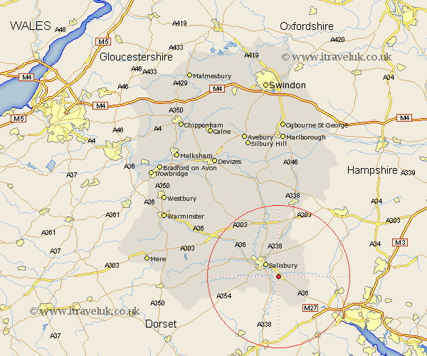
Wiltshire Map Showing Location of Alderbury
Population: 1797
Area Size (ha): 62
District: Salisbury
Easting: 418696 Northing: 126086
Latitude: 51.03 Longitude: -1.73
 = Alderbury
Area Size (ha): 62
District: Salisbury
Easting: 418696 Northing: 126086
Latitude: 51.03 Longitude: -1.73
= Alderbury
This Alderbury map below is supplied by Google. Use the tools in the top left corner to zoom into street level or zoom out for a road map, you may also need to zoom in to see Alderbury on the map. Click and drag the map to move around. If the map fails to load try and refresh your browser or zoom in or out (+ or -).
Update - it seems Google no longer allow people to use their maps for free! This Alderbury map sometimes loads and sometimes gives a error. I am working on a solution.
Closest 30 Towns or Cities to Alderbury (Population over 500)
Alderbury 0km Britford 2.33km Odstock 3.5km Downton 3.7km Farley 3.96km Salisbury 5.1km New Sarum 5.1km Redlynch 5.68km Whiteparish 6.91km Winterslow 7.25km Winterbourne Dauntsey 7.51km Winterbourne 7.51km Combebissett 8.16km Coombe Bissett 8.16km Landford 10.19km Wilton 10.85km Idmiston 11.18km Bishopstone 11.8km South Newton 11.91km Broad Chalke 14.11km Amesbury 15.24km Durrington 16.84km Lark Hill 17.67km Longford 17.86km Steeple Langford 17.86km Dinton 18.34km Bulford 18.68km Fovant 18.74km Ludgershall 19.43km Lugershall 19.43km