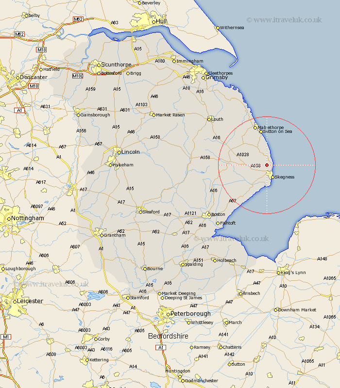
Lincolnshire Map Showing Location of Addlethorpe
Population: 377
District: East Lindsey
Easting: 554786 Northing: 367671
Latitude: 53.18 Longitude: 0.32
 = Addlethorpe
District: East Lindsey
Easting: 554786 Northing: 367671
Latitude: 53.18 Longitude: 0.32
= Addlethorpe
This Addlethorpe map below is supplied by Google. Use the tools in the top left corner to zoom into street level or zoom out for a road map, you may also need to zoom in to see Addlethorpe on the map. Click and drag the map to move around. If the map fails to load try and refresh your browser or zoom in or out (+ or -).
Update - it seems Google no longer allow people to use their maps for free! This Addlethorpe map sometimes loads and sometimes gives a error. I am working on a solution.
Closest 30 Towns or Cities to Addlethorpe (Population over 500)
Ingoldmells 1.11km Chapel Saint Leonards 3.71km Chapel St. Leonards 3.71km Chapel St Leonards 3.71km Burgh le Marsh 5.78km Skegness 5.99km Croft 7.12km Huttoft 8.13km Willoughby 8.61km Wainfleet 10.27km Wainfleet All Saints 10.27km Alford 11.57km Spilsby 14.44km Sutton on Sea 15km Sutton-on-Sea 15km Friskney 15.72km Mablethorpe 17.26km Wrangle 21.36km Stickney 22.9km Leake 23.5km Old Leake 23.5km Legbourne 24.35km Manby 24.97km Mareham-on-the-Hill 25.54km Mareham 25.54km Mareham on the Hill 25.54km Grimoldby 25.62km Leverton 25.66km Saltfleetby St. Clement 25.67km Saltfleetby 25.67km