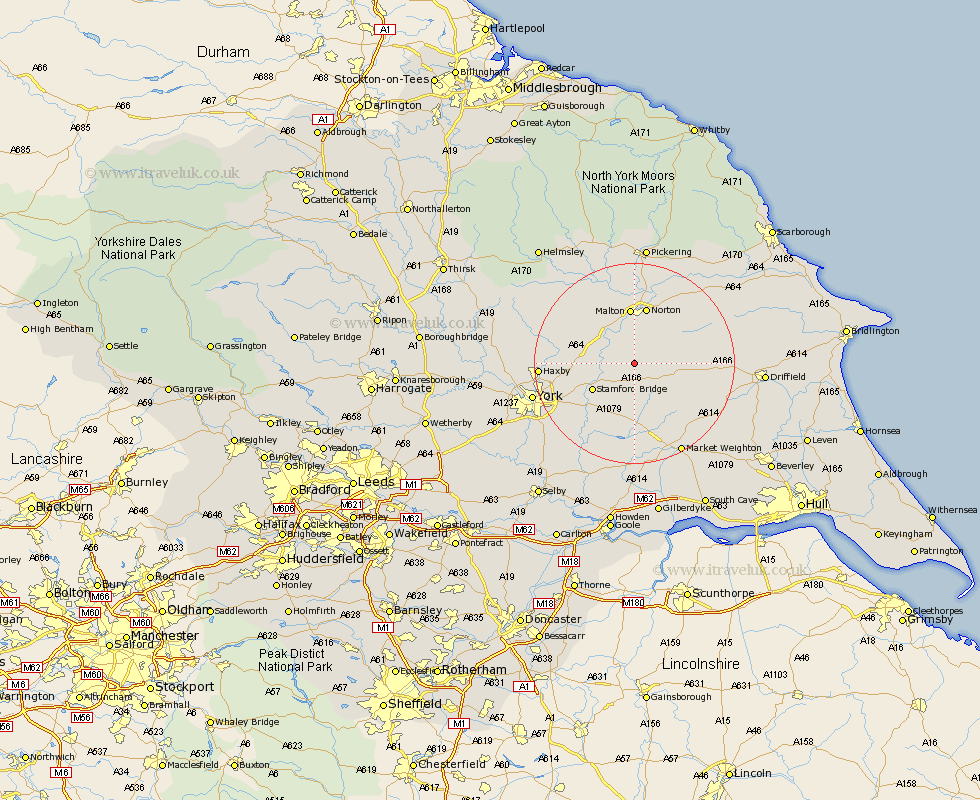
Yorkshire Map Showing Location of Acklam
Population: 183
District: Ryedale
Easting: 478587 Northing: 460388
Latitude: 54.03 Longitude: -0.8
 = Acklam
District: Ryedale
Easting: 478587 Northing: 460388
Latitude: 54.03 Longitude: -0.8
= Acklam
This Acklam map below is supplied by Google. Use the tools in the top left corner to zoom into street level or zoom out for a road map, you may also need to zoom in to see Acklam on the map. Click and drag the map to move around. If the map fails to load try and refresh your browser or zoom in or out (+ or -).
Update - it seems Google no longer allow people to use their maps for free! This Acklam map sometimes loads and sometimes gives a error. I am working on a solution.
Closest 30 Towns or Cities to Acklam (Population over 500)
Fangfoss 7.72km Stamford Bridge 9.44km Wilberfoss 10.75km Malton 11.14km Barmby-on-the-Moor 11.17km Barmby 11.17km Barmby on the Moor 11.17km Pocklington 11.59km Norton 11.7km Sheriff Hutton 14.19km Terrington 14.29km Rillington 14.52km Slingsby 15.04km Sutton 15.04km Sutton upon Derwent 15.04km Strensall 15.35km Wetwang 15.69km Huntington 16.75km Earswick 16.75km Melbourne 17km Wigginton 17.52km Haxby 17.52km Heslington 17.85km New Earswick 18.29km Wheldrake 19.93km York 19.94km Seaton Ross 20.41km Market Weighton 20.48km Clifton 20.96km Stillington 21.96km