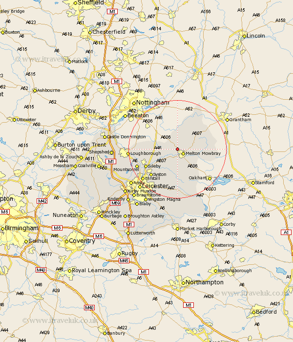
Leicestershire Map Showing Location of Ab Kettleby
Population: 501
District: Melton
Easting: 473058 Northing: 321222
Latitude: 52.78 Longitude: -0.92
 = Ab Kettleby
District: Melton
Easting: 473058 Northing: 321222
Latitude: 52.78 Longitude: -0.92
= Ab Kettleby
This Ab Kettleby map below is supplied by Google. Use the tools in the top left corner to zoom into street level or zoom out for a road map, you may also need to zoom in to see Ab Kettleby on the map. Click and drag the map to move around. If the map fails to load try and refresh your browser or zoom in or out (+ or -).
Update - it seems Google no longer allow people to use their maps for free! This Ab Kettleby map sometimes loads and sometimes gives a error. I am working on a solution.
Closest 30 Towns or Cities to Ab Kettleby (Population over 500)
Melton Mowbray 2.9km Scalford 3.84km Hose 5.67km Frisby on the Wreak 6.5km Frisby 6.5km Frisby-on-the-Wreak 6.5km Hoby 7.9km Waltham on the Wolds 8.06km Waltham-on-the-Wolds 8.06km Waltham 8.06km Stathern 8.67km Eaton 8.72km Gaddesby 9.85km Rearsby 10.79km Wymeswold 12.33km Wimeswould 12.33km Wymondham 12.88km Twyford 12.96km Burton-on-the-Wolds 13.58km Burton on the Wolds 13.58km Burton 13.58km Queniborough 13.61km Queniboro 13.61km Somerby 14.13km Sileby 14.39km Syston 15.02km Redmile 15.16km Barrow 16.66km Barrow upon Soar 16.66km Rothley 17.28km