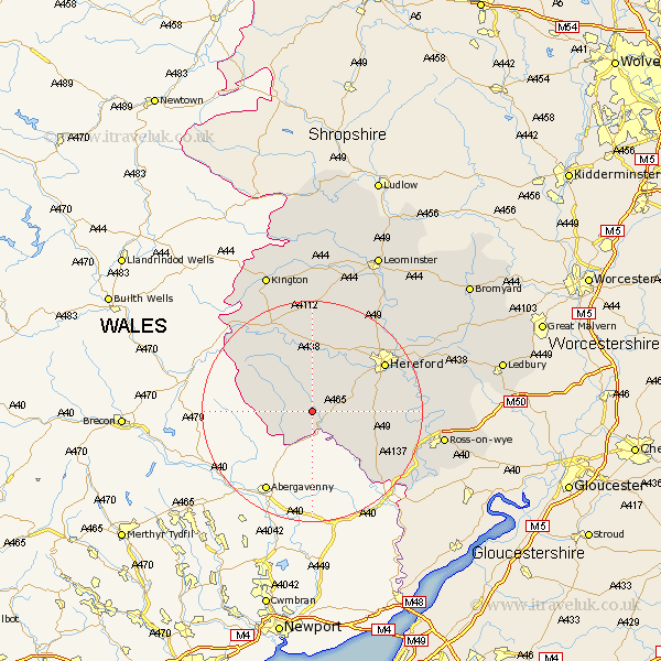
Herefordshire Map Showing Location of Abbey Dore
Population: 342
Easting: 338175 Northing: 230232
Latitude: 51.97 Longitude: -2.9
 = Abbey Dore
Easting: 338175 Northing: 230232
Latitude: 51.97 Longitude: -2.9
= Abbey Dore
This Abbey Dore map below is supplied by Google. Use the tools in the top left corner to zoom into street level or zoom out for a road map, you may also need to zoom in to see Abbey Dore on the map. Click and drag the map to move around. If the map fails to load try and refresh your browser or zoom in or out (+ or -).
Update - it seems Google no longer allow people to use their maps for free! This Abbey Dore map sometimes loads and sometimes gives a error. I am working on a solution.
Closest 30 Towns or Cities to Abbey Dore (Population over 500)
Ewyas Harold 2.18km Kingstone 7.19km Madley 8.16km Peterchurch 8.16km Allensmore 9.73km Much Dewchurch 10.44km Much Birch 12.56km Broad Oak 13.85km Bullingham 14.57km Hereford 15.6km Credenhill 16.32km Burghill 17.4km Moreton-on-Lugg 18.7km Moreton on Lugg 18.7km Moreton 18.7km Eardisley 19.75km Clifford 20.17km Lugwardine 20.4km Mordiford 20.47km Fownhope 20.88km Sutton 20.96km Almeley 21.16km Wellington 21.18km Whitchurch 21.51km Weobley 22.36km Goodrich 22.39km Walford 22.56km Withington 23.5km Ross on Wye 23.52km Ross-on-wye 23.52km