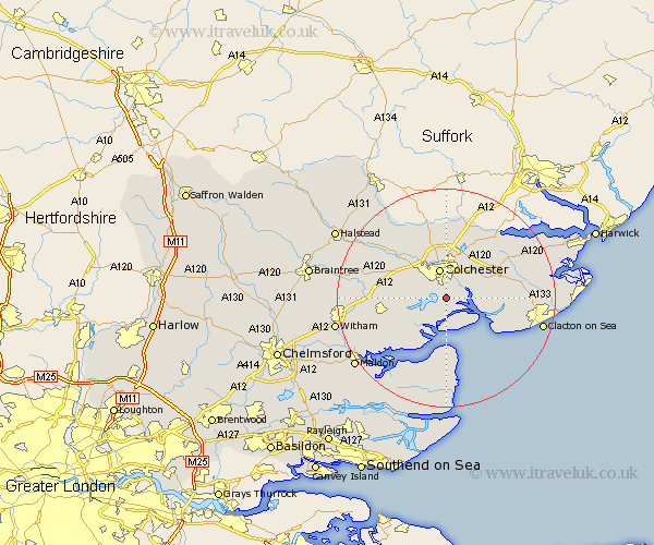
Essex Map Showing Location of Abberton
Population: 358
District: Colchester
Easting: 600933 Northing: 219037
Latitude: 51.83 Longitude: 0.92
 = Abberton
District: Colchester
Easting: 600933 Northing: 219037
Latitude: 51.83 Longitude: 0.92
= Abberton
This Abberton map below is supplied by Google. Use the tools in the top left corner to zoom into street level or zoom out for a road map, you may also need to zoom in to see Abberton on the map. Click and drag the map to move around. If the map fails to load try and refresh your browser or zoom in or out (+ or -).
Update - it seems Google no longer allow people to use their maps for free! This Abberton map sometimes loads and sometimes gives a error. I am working on a solution.
Closest 30 Towns or Cities to Abberton (Population over 500)
Fingringhoe 1.15km Peldon 2.17km Rowhedge 2.95km Wivenhoe 3.91km Winehoe 3.91km Wyvenhoe 3.91km Layer de la Haye 4.58km Alresford 4.94km Colchester 5.68km Birch 6.87km West Mersea 7.49km Copford 8.23km Thorrington 8.23km Brightlingsea 8.83km Great Bromley 9.75km Marks Tey 9.88km Ardleigh 10.34km Great Bentley 10.47km Tolleshunt Knights 10.72km Tollesbury 10.89km West Bergholt 10.9km Tolleshunt D'Arcy 10.92km Horkesley 11.64km Great Horkesley 11.64km St. Osyth 12.04km Saint Osyth 12.04km St Osyth 12.04km Fordham 12.25km Boxted 12.98km Tiptree 13.13km