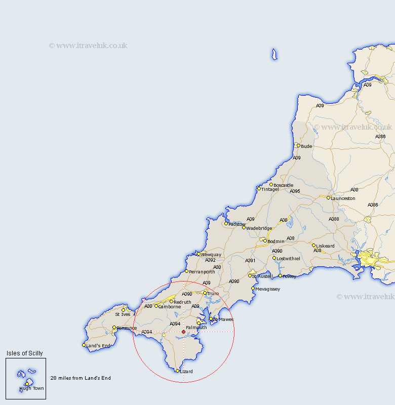
Cornwall Map Showing Location of Constantine
Population: 1705
District: Kerrier
Easting: 173645 Northing: 28941
Latitude: 50.12 Longitude: -5.17
 = Constantine
District: Kerrier
Easting: 173645 Northing: 28941
Latitude: 50.12 Longitude: -5.17
= Constantine
This Constantine map below is supplied by Google. Use the tools in the top left corner to zoom into street level or zoom out for a road map, you may also need to zoom in to see Constantine on the map. Click and drag the map to move around. If the map fails to load try and refresh your browser or zoom in or out (+ or -).
Update - it seems Google no longer allow people to use their maps for free! This Constantine map sometimes loads and sometimes gives a error. I am working on a solution.
Closest 30 Towns or Cities to Constantine (Population over 500)
Gweek 4.02km Mawnan 5.1km Budock 5.14km Budock Water 5.14km Wendron 6.22km Falmouth 7km Penryn 7.31km Stithians 7.5km Helston 8.52km Helstone 8.52km Mylor 10km Mylor Bridge 10km Crowan 10.2km Gwennap 11.12km Porthleven 11.33km Breage 12.03km Feock 12.45km St. Feoch 12.45km Saint Feoch 12.45km Saint Feock 12.45km St Feock 12.45km St. Feock 12.45km St Feoch 12.45km Mullion 12.61km Saint Day 13.02km St Day 13.02km St. Day 13.02km Redruth 13.81km Troon 13.91km Gerrans 14.2km