Norfolk Map Showing Location of Wramplingham
Population: 110
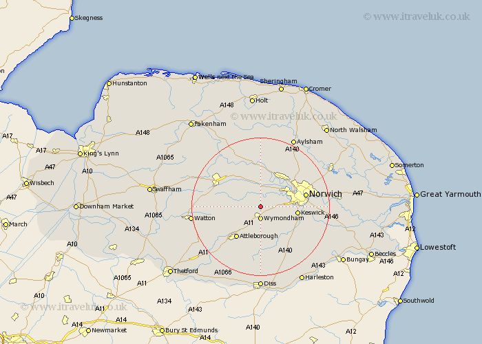
District: South Norfolk
Easting: 611041 Northing: 304846
Latitude: 52.6 Longitude: 1.12
 = Wramplingham
District: South Norfolk
Easting: 611041 Northing: 304846
Latitude: 52.6 Longitude: 1.12
= Wramplingham
This Wramplingham map below is supplied by Google. Use the tools in the top left corner to zoom into street level or zoom out for a road map, you may also need to zoom in to see Wramplingham on the map. Click and drag the map to move around. If the map fails to load try and refresh your browser or zoom in or out (+ or -).
Update - it seems Google no longer allow people to use their maps for free! This Wramplingham map sometimes loads and sometimes gives a error. I am working on a solution.
Closest 30 Towns or Cities to Wramplingham (Population over 500)
Wymondham 3.7km Hethersett 4.5km Mattishall 7.91km Hockering 8.15km Taverham 8.67km Ashwellthorpe 8.68km Costessey 8.75km Cringleford 9km Hingham 9.2km Mulbarton 9.65km Hellesdon 9.73km Swardeston 9.74km Drayton 10.03km Besthorpe 10.84km Attleborough 11.47km Yaxham 11.55km Forncett Saint Mary 12.46km Forncett 12.46km Forncett St. Mary 12.46km Forncett St Mary 12.46km Saxlingham 12.56km Saxlingham Thorpe 12.56km Great Ellingham 12.56km Horsford 12.91km Norwich 12.92km Bunwell 13.02km Lyng 13.41km Stoke Holy Cross 13.58km Old Buckenham 13.74km Horsham St. Faith 14.57km