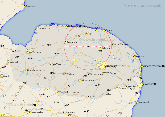
Norfolk Map Showing Location of Wood Dalling
Population: 181
District: Broadland
Easting: 608954 Northing: 327034
Latitude: 52.8 Longitude: 1.1
 = Wood Dalling
District: Broadland
Easting: 608954 Northing: 327034
Latitude: 52.8 Longitude: 1.1
= Wood Dalling
This Wood Dalling map below is supplied by Google. Use the tools in the top left corner to zoom into street level or zoom out for a road map, you may also need to zoom in to see Wood Dalling on the map. Click and drag the map to move around. If the map fails to load try and refresh your browser or zoom in or out (+ or -).
Update - it seems Google no longer allow people to use their maps for free! This Wood Dalling map sometimes loads and sometimes gives a error. I am working on a solution.
Closest 30 Towns or Cities to Wood Dalling (Population over 500)
Corpusty 2.91km Reepham 5.67km Cawston 5.81km Hindolveston 5.9km Foulham 5.9km Foulsham 5.9km Briston 5.99km Melton Constable 7.14km Mellon Constable 7.14km Witchingham 7.5km Bawdeswell 8.67km Lyng 9.53km Aylsham 10.26km Erpingham 10.74km Marsham 10.75km Holt 11.18km Great Ryburgh 12.46km Ryburgh 12.46km Hevingham 12.51km North Elmham 12.52km Little Snoring 14.54km Hockering 14.99km Weybourne 15.2km Beetley 15.43km Felmingham 15.69km Taverham 15.85km Sheringham 16.27km Roughton 16.32km Hainford 16.34km Haynford 16.34km