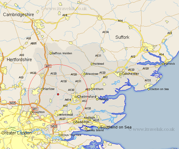
Essex Map Showing Location of Willingale Doe
Population: 483
District: Epping Forest
Easting: 559899 Northing: 208290
Latitude: 51.75 Longitude: 0.32
 = Willingale Doe
District: Epping Forest
Easting: 559899 Northing: 208290
Latitude: 51.75 Longitude: 0.32
= Willingale Doe
This Willingale Doe map below is supplied by Google. Use the tools in the top left corner to zoom into street level or zoom out for a road map, you may also need to zoom in to see Willingale Doe on the map. Click and drag the map to move around. If the map fails to load try and refresh your browser or zoom in or out (+ or -).
Update - it seems Google no longer allow people to use their maps for free! This Willingale Doe map sometimes loads and sometimes gives a error. I am working on a solution.
Closest 30 Towns or Cities to Willingale Doe (Population over 500)
Fyfield 3.91km Roxwell 4.59km High Easter 6.01km High Ongar 6.54km Chipping Ongar 7.21km Matching 7.81km Hatfield Heath 8.85km Writtle 8.85km Kelvedon Hatch 9.54km Great Waltham 9.89km Margaretting 10.12km Hatfield Broad Oak 10.34km Ingatestone 10.34km Broomfield 10.49km Harlow 10.97km Stanford Rivers 11.54km Chelmsford 11.62km Sheering 11.72km Ongar Station 11.73km North Weald 11.73km Galleywood 11.73km Felsted 12.51km Barnston 12.51km Little Waltham 12.74km North Weald Bassett 12.76km Hallingbury 13.03km Great Hallingbury 13.03km Mountnessing 13.18km Takeley 13.42km Stock 13.72km