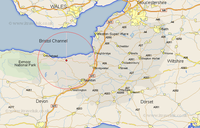
Somerset Map Showing Location of St Audries
Population: 390
District: West Somerset
Easting: 311447 Northing: 141648
Latitude: 51.17 Longitude: -3.27
 = St Audries
District: West Somerset
Easting: 311447 Northing: 141648
Latitude: 51.17 Longitude: -3.27
= St Audries
This St Audries map below is supplied by Google. Use the tools in the top left corner to zoom into street level or zoom out for a road map, you may also need to zoom in to see St Audries on the map. Click and drag the map to move around. If the map fails to load try and refresh your browser or zoom in or out (+ or -).
Update - it seems Google no longer allow people to use their maps for free! This St Audries map sometimes loads and sometimes gives a error. I am working on a solution.
Closest 30 Towns or Cities to St Audries (Population over 500)
Stogumber 4.38km Watchet 4.65km Nether Stowey 7.22km Williton 7.9km Stoke Courcy 9.48km Stokscourey 9.48km Stogursey 9.48km Carhampton 10.62km Spaxton 11.85km Bishops Lydeard 12.55km Otterhampton 12.91km Wiveliscombe 15.24km Kingston 15.27km Minehead 15.55km Durleigh 16.1km Milverton 16.72km Norton Fitzwarren 16.92km Oake 17.32km Taunton 18.16km Pawlett 18.68km North Petherton 18.95km Bridgwater 19.42km Bridgewater 19.42km West Monkton 19.93km Burnham on Sea 20km Burnham 20km Burnham-on-Sea 20km Huntspill 20.09km Highbridge 20.51km Berrow 20.66km