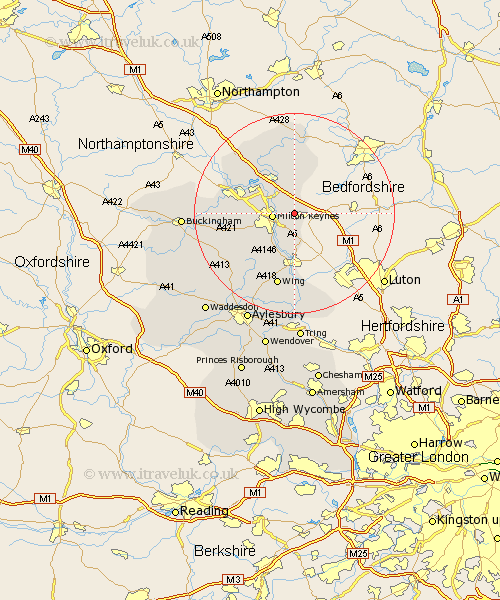
Buckinghamshire Map Showing Location of Wavendon
Population: 766
Easting: 491489 Northing: 236250
Latitude: 52.02 Longitude: -0.67
 = Wavendon
Easting: 491489 Northing: 236250
Latitude: 52.02 Longitude: -0.67
= Wavendon
This Wavendon map below is supplied by Google. Use the tools in the top left corner to zoom into street level or zoom out for a road map, you may also need to zoom in to see Wavendon on the map. Click and drag the map to move around. If the map fails to load try and refresh your browser or zoom in or out (+ or -).
Update - it seems Google no longer allow people to use their maps for free! This Wavendon map sometimes loads and sometimes gives a error. I am working on a solution.
Closest 30 Towns or Cities to Wavendon (Population over 500)
Simpson 2.28km Woburn Sands 2.94km Bow Brickhill 3.71km Milton Keynes 4.39km Bletchley 5.89km Shenley Brook End 7.09km North Crawley 7.49km Great Brickhill 7.51km Great Linford 7.96km Shenley 7.98km Shenley Church End 7.98km Newport Pagnell 8.16km Stoke Hammond 8.17km Bradwell 8.19km Newton Longville 8.82km Sherington 9.54km Soulbury 9.88km Wolverton 10.91km Stewkley 12.5km Stoke Goldington 13.05km Stony Stratford 13.08km Castlethorpe 13.59km Hanslope 13.82km Mursley 13.84km Great Horwood 14.78km Olney 15km Wing 15.22km Winslow 15.58km Lavendon 16.72km Slapton 16.84km