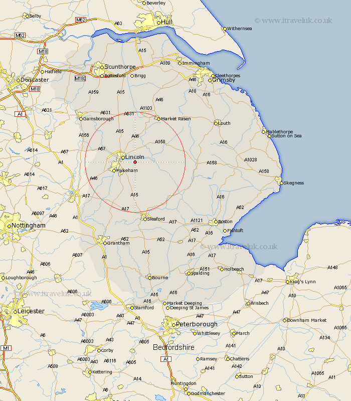
Lincolnshire Map Showing Location of Washingborough
Population: 5431
Area Size (ha): 178
District: North Kesteven
Easting: 502373 Northing: 369977
Latitude: 53.22 Longitude: -0.47
 = Washingborough
Area Size (ha): 178
District: North Kesteven
Easting: 502373 Northing: 369977
Latitude: 53.22 Longitude: -0.47
= Washingborough
This Washingborough map below is supplied by Google. Use the tools in the top left corner to zoom into street level or zoom out for a road map, you may also need to zoom in to see Washingborough on the map. Click and drag the map to move around. If the map fails to load try and refresh your browser or zoom in or out (+ or -).
Update - it seems Google no longer allow people to use their maps for free! This Washingborough map sometimes loads and sometimes gives a error. I am working on a solution.
Closest 30 Towns or Cities to Washingborough (Population over 500)
Heighington 1.86km Fiskerton 2.89km Reepham 2.89km Cherry Willingham 3.31km Branston 3.71km Lincoln 4.81km Potter Hanworth 4.99km Sudbrooke 5.67km Nettleham 5.67km Nocton 6.48km Waddington 7.12km Scothern 7.49km North Hykeham 8.61km Hykeham 8.61km Dunston 8.64km Dunholm 9.26km Dunholme 9.26km Welton 9.33km Bardney 9.99km Skellingthorpe 10.15km Metheringham 10.28km Scampton 11.4km Scrampton 11.4km Thorpe on the Hill 11.71km Thorpe-on-the-Hill 11.71km Thorpe 11.71km Aubourn 12.45km Holton 12.82km Wragby 13.33km Navenby 13.4km