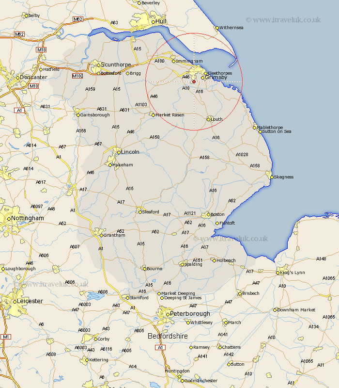
Lincolnshire Map Showing Location of Waltham
Population: 5971
Area Size (ha): 155
Easting: 525963 Northing: 403931
Latitude: 53.52 Longitude: -0.1
 = Waltham
Area Size (ha): 155
Easting: 525963 Northing: 403931
Latitude: 53.52 Longitude: -0.1
= Waltham
This Waltham map below is supplied by Google. Use the tools in the top left corner to zoom into street level or zoom out for a road map, you may also need to zoom in to see Waltham on the map. Click and drag the map to move around. If the map fails to load try and refresh your browser or zoom in or out (+ or -).
Update - it seems Google no longer allow people to use their maps for free! This Waltham map sometimes loads and sometimes gives a error. I am working on a solution.
Closest 30 Towns or Cities to Waltham (Population over 500)
Holton le Clay 2.2km Great Grimsby 3.79km Grimsby 3.79km Humberstone 4.78km Humberston 4.78km Laceby 4.78km Great Coates 5.67km Cleethorpes 5.76km North Thoresby 6.47km Tetney 6.65km Healing 7.09km Stallingborough 9.23km Fulstow 9.24km South Killingholme 10.42km North Coates 10.43km binbrook 10.79km Keelby 11.36km Immingham 12.05km Grainthorpe 13.34km Habrough 13.56km Nettleton 14.8km Caistor 14.8km Louth 17.57km North Somercotes 18.97km Ulceby 19km Barnetby 20.59km Barnetby le Wold 20.59km East Halton 20.61km Grimoldby 20.63km North Kelsey 21.27km