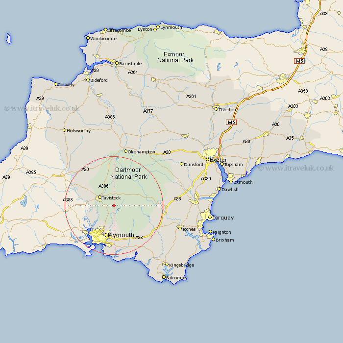
Devon Map Showing Location of Walkhampton
Population: 863
District: West Devon
Easting: 253501 Northing: 70651
Latitude: 50.52 Longitude: -4.07
 = Walkhampton
District: West Devon
Easting: 253501 Northing: 70651
Latitude: 50.52 Longitude: -4.07
= Walkhampton
This Walkhampton map below is supplied by Google. Use the tools in the top left corner to zoom into street level or zoom out for a road map, you may also need to zoom in to see Walkhampton on the map. Click and drag the map to move around. If the map fails to load try and refresh your browser or zoom in or out (+ or -).
Update - it seems Google no longer allow people to use their maps for free! This Walkhampton map sometimes loads and sometimes gives a error. I am working on a solution.
Closest 30 Towns or Cities to Walkhampton (Population over 500)
Walkhampton 0km Horrabridge 3km Yelverton 3.9km Meavy 3.9km Whitechurch 5.06km Whitchurch 5.06km Buckland Monachorum 5.07km Tavistock 6.96km Bickleigh 7.42km Shaugh Prior 7.51km Lamerton 9.94km Gunnislake 10.76km Dartmoor Forest 12.93km Cornwood 13.18km Plymouth 13.45km Milton Abbot 15.92km Ivybridge 18.24km Bridestowe 18.67km Brixton 18.69km South Brent 18.94km Brent 18.94km Yealmpton 19.45km Widecombe in the Moor 19.65km Widdecombe 19.65km Ermington 19.77km Lifton 20.06km Buckfastleigh 20.38km Ugborough 21.34km Holbeton 22km Wembury 22.27km