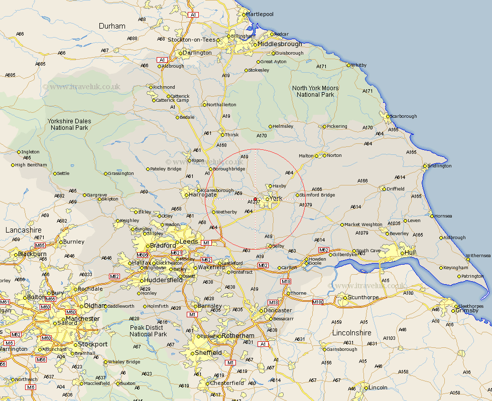
Yorkshire Map Showing Location of Upper Poppleton
Population: 3238
Area Size (ha): 105
Easting: 455755 Northing: 452647
Latitude: 53.97 Longitude: -1.15
 = Upper Poppleton
Area Size (ha): 105
Easting: 455755 Northing: 452647
Latitude: 53.97 Longitude: -1.15
= Upper Poppleton
This Upper Poppleton map below is supplied by Google. Use the tools in the top left corner to zoom into street level or zoom out for a road map, you may also need to zoom in to see Upper Poppleton on the map. Click and drag the map to move around. If the map fails to load try and refresh your browser or zoom in or out (+ or -).
Update - it seems Google no longer allow people to use their maps for free! This Upper Poppleton map sometimes loads and sometimes gives a error. I am working on a solution.
Closest 30 Towns or Cities to Upper Poppleton (Population over 500)
Clifton 3.27km Rufforth 3.76km Skelton 3.86km York 4.36km Bishopthorpe 4.95km Bishopthorne 4.95km Copmanthorpe 5.67km New Earswick 5.75km Long Marston 5.76km Shipton 7.41km Earswick 7.51km Huntington 7.51km Haxby 7.78km Wigginton 7.78km Heslington 7.86km Acaster Malbis 8.11km Newton 8.59km Newton upon Ouse 8.59km Linton-on-Ouse 9.88km Linton 9.88km Linton on Ouse 9.88km Linton upon Ouse 9.88km Hammerton 9.98km Kirk Hammerton 9.98km Green Hammerton 10.48km Escrick 11.35km Tollerton 11.94km Strensall 12km Tadcaster 12.01km Whixley 12.23km