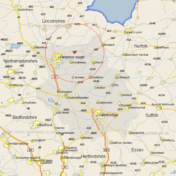
Cambridgeshire Map Showing Location of Thorney
Population: 2166
Easting: 528617 Northing: 303837
Latitude: 52.62 Longitude: -0.1
 = Thorney
Easting: 528617 Northing: 303837
Latitude: 52.62 Longitude: -0.1
= Thorney
This Thorney map below is supplied by Google. Use the tools in the top left corner to zoom into street level or zoom out for a road map, you may also need to zoom in to see Thorney on the map. Click and drag the map to move around. If the map fails to load try and refresh your browser or zoom in or out (+ or -).
Update - it seems Google no longer allow people to use their maps for free! This Thorney map sometimes loads and sometimes gives a error. I am working on a solution.
Closest 30 Towns or Cities to Thorney (Population over 500)
Eye 5.93km Whittlesey 7.75km Newborough 7.88km Peterbrough 10.79km Petersborough 10.79km Peterborough 10.79km Glinton 12.51km Northborough 12.91km Farcet 12.93km March 14.44km Orton Waterville 15.41km Helpston 15.75km Helpstone 15.75km Yaxley 16.47km Castor 16.71km Wimblington 17.19km Newton 18.26km Ramsey 18.57km Doddington 18.63km Wisbech 18.83km Holme 18.96km Elm 19.21km Stilton 19.33km Folksworth 20.07km Barnack 20.25km Chatteris 21.13km Elton 21.27km Bury 22.24km Sawtry 23.3km Wittering 23.71km