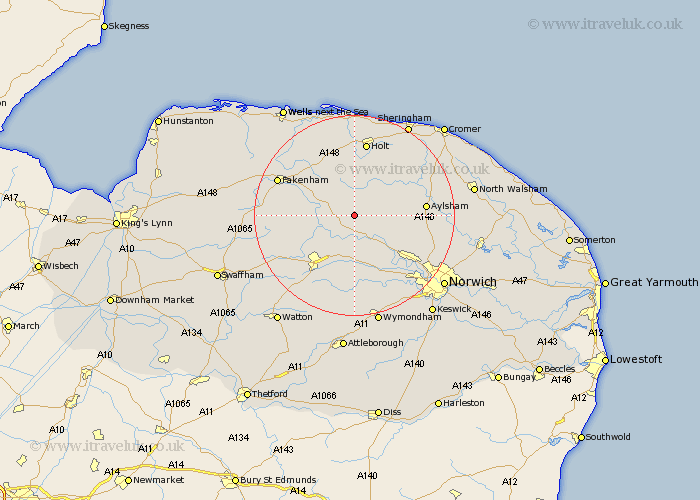
Norfolk Map Showing Location of Themelthorpe
Population: 65
District: Broadland
Easting: 605742 Northing: 323188
Latitude: 52.77 Longitude: 1.05
 = Themelthorpe
District: Broadland
Easting: 605742 Northing: 323188
Latitude: 52.77 Longitude: 1.05
= Themelthorpe
This Themelthorpe map below is supplied by Google. Use the tools in the top left corner to zoom into street level or zoom out for a road map, you may also need to zoom in to see Themelthorpe on the map. Click and drag the map to move around. If the map fails to load try and refresh your browser or zoom in or out (+ or -).
Update - it seems Google no longer allow people to use their maps for free! This Themelthorpe map sometimes loads and sometimes gives a error. I am working on a solution.
Closest 30 Towns or Cities to Themelthorpe (Population over 500)
Foulham 2.9km Foulsham 2.9km Bawdeswell 3.88km Reepham 4.86km Lyng 5.67km Witchingham 5.82km Hindolveston 5.99km North Elmham 7.69km Cawston 7.85km Corpusty 7.89km Mellon Constable 9.33km Melton Constable 9.33km Briston 9.33km Ryburgh 10.55km Great Ryburgh 10.55km Beetley 10.56km Hockering 11.18km Dereham 12.15km East Dereham 12.15km Mattishall 13.02km Marsham 13.46km Aylsham 13.58km Little Snoring 13.69km Colkirk 13.95km Mileham 13.96km Yaxham 14.14km Taverham 14.3km Hevingham 14.7km Holt 14.99km Erpingham 15.35km