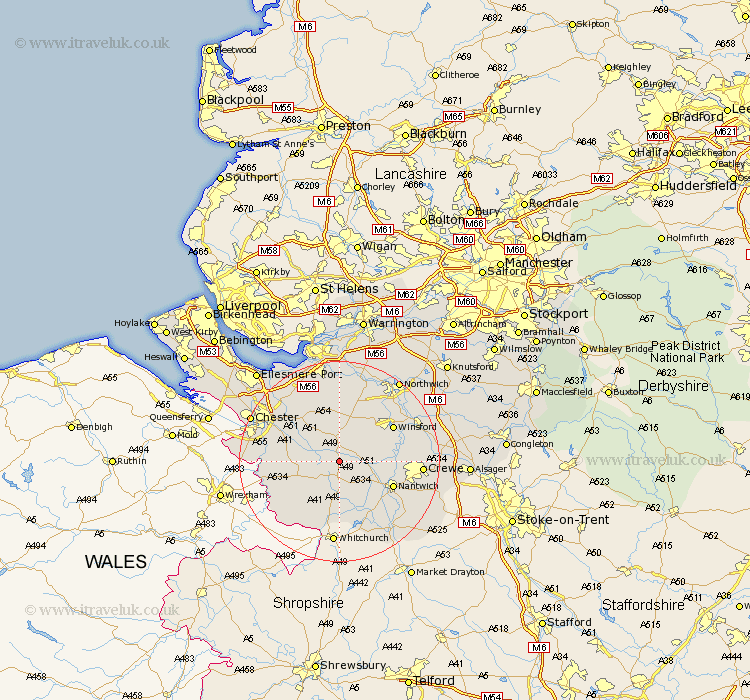
Cheshire Map Showing Location of Spurstow
Population: 394
District: Crewe and Nantwich
Easting: 355384 Northing: 357964
Latitude: 53.12 Longitude: -2.67
 = Spurstow
District: Crewe and Nantwich
Easting: 355384 Northing: 357964
Latitude: 53.12 Longitude: -2.67
= Spurstow
This Spurstow map below is supplied by Google. Use the tools in the top left corner to zoom into street level or zoom out for a road map, you may also need to zoom in to see Spurstow on the map. Click and drag the map to move around. If the map fails to load try and refresh your browser or zoom in or out (+ or -).
Update - it seems Google no longer allow people to use their maps for free! This Spurstow map sometimes loads and sometimes gives a error. I am working on a solution.
Closest 30 Towns or Cities to Spurstow (Population over 500)
Bunbury 1.11km Tarporley 3.7km Tattenhall 6.67km Harthill 6.69km Little Budworth 8.64km Waverton 10.49km Delamere 11.12km Kelshall Hill 11.17km Kelsall Hill 11.17km Kelsall 11.17km Tarvin 11.41km Nantwich 11.46km Ashton 11.97km Wrenbury 11.98km Wrenbury cum Frith 11.98km Winsford 12.45km Tilston 12.46km Great Barrow 12.84km Barrow 12.84km Malpas 12.97km Christleton 13.36km Willaston 13.45km Whitegate 13.57km Cuddington 13.71km Wistaston 13.86km Farndon 14.93km Mickle Trafford 14.95km Hartford 15.12km Crewe 15.69km Weaverham 15.83km