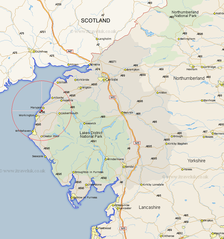
Cumbria Map Showing Location of Flimby
Population: 1763
Area Size (ha): 35
District: Allerdale
Easting: 302231 Northing: 533099
Latitude: 54.68 Longitude: -3.52
 = Flimby
Area Size (ha): 35
District: Allerdale
Easting: 302231 Northing: 533099
Latitude: 54.68 Longitude: -3.52
= Flimby
This Flimby map below is supplied by Google. Use the tools in the top left corner to zoom into street level or zoom out for a road map, you may also need to zoom in to see Flimby on the map. Click and drag the map to move around. If the map fails to load try and refresh your browser or zoom in or out (+ or -).
Update - it seems Google no longer allow people to use their maps for free! This Flimby map sometimes loads and sometimes gives a error. I am working on a solution.
Closest 30 Towns or Cities to Flimby (Population over 500)
Maryport 2.14km Broughton Moor 3.21km Workington 4.91km Dearham 5.67km Brigham 7.42km Crosscanonby 7.72km Bridekirk 9.64km Dean 10.71km Cockermouth 10.87km Distington 11.18km Lowca 11.92km Parton 13.66km Aspatria 13.91km Lamplugh 14.99km Whitehaven 15.77km Frizington 16.82km Cleator Moor 18.53km Bromfield 20.63km St Bees 21.38km St Bega 21.38km St. Bees 21.38km Saint Bees 21.38km St. Bega 21.38km Saint Bega 21.38km Silloth 22.55km Egremont 24.09km Westward 27km Koswick 27.36km Keswick 27.36km Wigton 28.84km