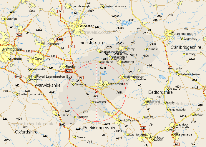
Northamptonshire Map Showing Location of Rothersthorpe
Population: 500
District: South Northamptonshire
Easting: 471753 Northing: 256316
Latitude: 52.2 Longitude: -0.95
 = Rothersthorpe
District: South Northamptonshire
Easting: 471753 Northing: 256316
Latitude: 52.2 Longitude: -0.95
= Rothersthorpe
This Rothersthorpe map below is supplied by Google. Use the tools in the top left corner to zoom into street level or zoom out for a road map, you may also need to zoom in to see Rothersthorpe on the map. Click and drag the map to move around. If the map fails to load try and refresh your browser or zoom in or out (+ or -).
Update - it seems Google no longer allow people to use their maps for free! This Rothersthorpe map sometimes loads and sometimes gives a error. I am working on a solution.
Closest 30 Towns or Cities to Rothersthorpe (Population over 500)
Kislingbury 2.18km Milton 2.93km Blisworth 3.87km Gayton 3.87km Collingtree 3.88km Harpole 4.34km Hardingstone 4.54km Bugbrooke 4.54km Wootton 4.91km Pattishall 5.86km Northampton 7.18km Roade 7.18km Flore 7.76km Towcester 7.76km Great Houghton 8.16km Houghton 8.16km Weedon Beck 8.16km Weedon 8.16km Hackleton 9.28km Boughton 9.87km Hartwell 10.08km Great Billing 10.65km Billing 10.65km Moulton 11.5km East Haddon 12.01km Pitsford 12.01km Denton 12.49km Overstone 12.97km Spratton 12.98km Paulerspury 13.03km