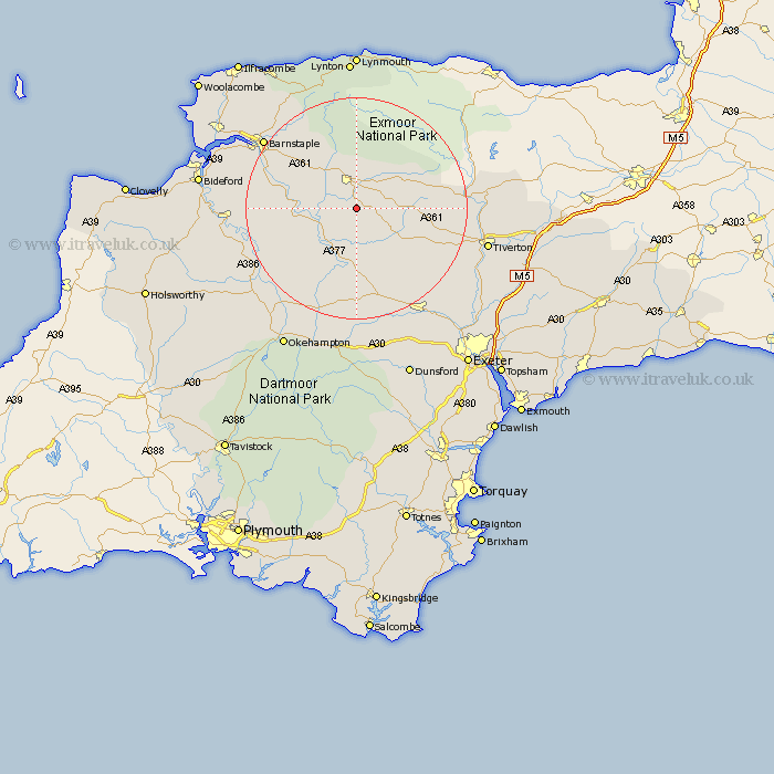
Devon Map Showing Location of Romansleigh
Population: 98
District: North Devon
Easting: 272450 Northing: 120218
Latitude: 50.97 Longitude: -3.82
 = Romansleigh
District: North Devon
Easting: 272450 Northing: 120218
Latitude: 50.97 Longitude: -3.82
= Romansleigh
This Romansleigh map below is supplied by Google. Use the tools in the top left corner to zoom into street level or zoom out for a road map, you may also need to zoom in to see Romansleigh on the map. Click and drag the map to move around. If the map fails to load try and refresh your browser or zoom in or out (+ or -).
Update - it seems Google no longer allow people to use their maps for free! This Romansleigh map sometimes loads and sometimes gives a error. I am working on a solution.
Closest 30 Towns or Cities to Romansleigh (Population over 500)
South Molton 5.68km Chulmleigh 6.57km Chawleigh 7.51km Witheridge 8.94km North Molton 9.34km Barrington 10.05km Burrington 10.05km Chittlehampton 10.86km Lapford 11.18km High Bickington 12.84km Morchard Bishop 13.79km Swimbridge 14km Dolton 17.79km Bow 18.54km Nymet Tracey 18.54km Tawstock 18.77km Cheriton Fitzpaine 19.11km Bratton Fleming 19.11km Copplestone 19.12km North Tawton 19.44km Sandford 19.72km Barnstaple 20.84km Sampford Courtenay 22.44km Sampford Courtnay 22.44km Sampford Courtney 22.44km Bampton 23.41km Torrington 23.42km Great Torrington 23.42km Crediton 23.51km Fremington 23.75km