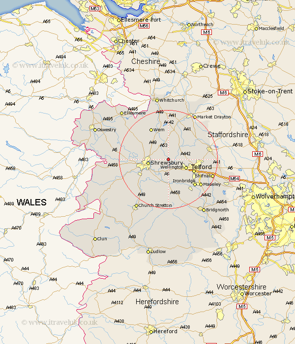
Shropshire Map Showing Location of Rodington
Population: 869
Easting: 358364 Northing: 315289
Latitude: 52.73 Longitude: -2.62
 = Rodington
Easting: 358364 Northing: 315289
Latitude: 52.73 Longitude: -2.62
= Rodington
This Rodington map below is supplied by Google. Use the tools in the top left corner to zoom into street level or zoom out for a road map, you may also need to zoom in to see Rodington on the map. Click and drag the map to move around. If the map fails to load try and refresh your browser or zoom in or out (+ or -).
Update - it seems Google no longer allow people to use their maps for free! This Rodington map sometimes loads and sometimes gives a error. I am working on a solution.
Closest 30 Towns or Cities to Rodington (Population over 500)
Ercall Magna 2.17km High Ercall 2.17km Wrockwardine 5.01km Shawbury 5.99km Wellington 7.69km Hadnall 7.69km Shrewsbury 8.07km Cherrington 8.69km Stanton 9.54km Stanton upon Hine Heath 9.54km Ketley 9.71km Hadley 9.71km Trench 10.27km Berrington 10.83km Telford 10.97km Cressage 11.12km Baystonhill 11.64km Downington 12.48km Donnington 12.48km Dawley 12.53km Oakengates 12.89km Condover 12.9km Hodnet 13.17km Bicton 13.47km Edgmond 13.96km Stoke 14.13km Stoke upon Tern 14.13km Great Hanwood 14.58km Hanwood 14.58km Lilleshall 14.59km