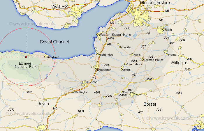
Somerset Map Showing Location of Porlock
Population: 1438
District: West Somerset
Easting: 283568 Northing: 145909
Latitude: 51.2 Longitude: -3.67
 = Porlock
District: West Somerset
Easting: 283568 Northing: 145909
Latitude: 51.2 Longitude: -3.67
= Porlock
This Porlock map below is supplied by Google. Use the tools in the top left corner to zoom into street level or zoom out for a road map, you may also need to zoom in to see Porlock on the map. Click and drag the map to move around. If the map fails to load try and refresh your browser or zoom in or out (+ or -).
Update - it seems Google no longer allow people to use their maps for free! This Porlock map sometimes loads and sometimes gives a error. I am working on a solution.
Closest 30 Towns or Cities to Porlock (Population over 500)
Dunster 5.81km Minehead 12.77km Carhampton 17.52km Dulverton 20.25km Williton 22.19km Brushford 22.41km Watchet 23.53km Stogumber 26.62km Wiveliscombe 30.67km Nether Stowey 35.3km Milverton 35.52km Bishops Lydeard 36.84km Stogursey 37.21km Stokscourey 37.21km Stoke Courcy 37.21km Oake 38.43km Spaxton 39.46km Norton Fitzwarren 40.55km Otterhampton 40.69km Wellington 40.76km Kingston 41.14km West Buckland 42.58km Taunton 42.63km Durleigh 43.99km Trull 44.38km Berrow 45.86km West Monkton 46.16km Brean 46.19km Pitminster 46.36km Pawlett 46.5km