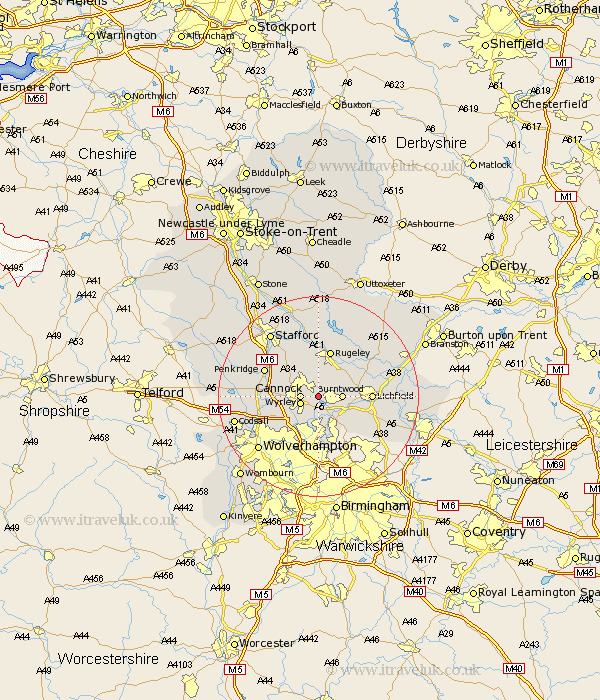
Staffordshire Map Showing Location of Norton Canes
Population: 6483
Area Size (ha): 170
District: Cannock Chase
Easting: 402252 Northing: 309550
Latitude: 52.68 Longitude: -1.97
 = Norton Canes
Area Size (ha): 170
District: Cannock Chase
Easting: 402252 Northing: 309550
Latitude: 52.68 Longitude: -1.97
= Norton Canes
This Norton Canes map below is supplied by Google. Use the tools in the top left corner to zoom into street level or zoom out for a road map, you may also need to zoom in to see Norton Canes on the map. Click and drag the map to move around. If the map fails to load try and refresh your browser or zoom in or out (+ or -).
Update - it seems Google no longer allow people to use their maps for free! This Norton Canes map sometimes loads and sometimes gives a error. I am working on a solution.
Closest 30 Towns or Cities to Norton Canes (Population over 500)
Hednesford 2.91km Cannock 3.37km Great Wyrley 3.71km Wyrley 3.71km Burntwood 4.49km Huntington 4.86km Brownhills 6km Hammerwich 6.73km Longdon 6.73km Pelsall 7.49km Armitage 7.9km Shareshill 8.08km Rushall 9.33km Walsall 9.53km Wallsall 9.53km Rugeley 9.54km Aldridge 9.86km Colton 9.87km Lichfield 10.11km Shenstone 10.57km Colwich 11.18km Bednall 11.46km Penkridge 11.53km Brewood 13.48km Whittington 13.48km Yoxall 14.41km Bilston 14.62km Stafford 15.78km Wolverhampton 15.82km Abbots Bromley 15.85km