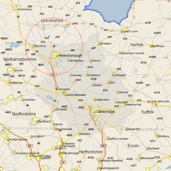
Cambridgeshire Map Showing Location of Northborough
Population: 1221
Area Size (ha): 50
Easting: 516119 Northing: 307229
Latitude: 52.65 Longitude: -0.28
 = Northborough
Area Size (ha): 50
Easting: 516119 Northing: 307229
Latitude: 52.65 Longitude: -0.28
= Northborough
This Northborough map below is supplied by Google. Use the tools in the top left corner to zoom into street level or zoom out for a road map, you may also need to zoom in to see Northborough on the map. Click and drag the map to move around. If the map fails to load try and refresh your browser or zoom in or out (+ or -).
Update - it seems Google no longer allow people to use their maps for free! This Northborough map sometimes loads and sometimes gives a error. I am working on a solution.
Closest 30 Towns or Cities to Northborough (Population over 500)
Glinton 1.86km Helpstone 5.01km Helpston 5.01km Newborough 5.83km Peterbrough 7.75km Peterborough 7.75km Petersborough 7.75km Barnack 8.7km Eye 8.75km Castor 9.86km Orton Waterville 11.18km Wittering 12.55km Thorney 12.91km Farcet 13.41km Elton 14.63km Whittlesey 15.04km Yaxley 16.83km Stilton 18.54km Folksworth 18.57km Holme 20.66km Sawtry 24.12km Ramsey 24.93km March 27.15km Newton 28.64km Bury 28.75km Wimblington 28.94km Doddington 30.05km Wisbech 30.41km Wistow 30.44km Warboys 31.43km