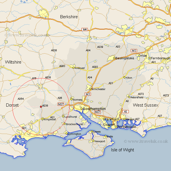
Hampshire Map Showing Location of Fordingbridge
Population: 4205
Area Size (ha): 118
District: New Forest
Easting: 414052 Northing: 114952
Latitude: 50.93 Longitude: -1.8
 = Fordingbridge
Area Size (ha): 118
District: New Forest
Easting: 414052 Northing: 114952
Latitude: 50.93 Longitude: -1.8
= Fordingbridge
This Fordingbridge map below is supplied by Google. Use the tools in the top left corner to zoom into street level or zoom out for a road map, you may also need to zoom in to see Fordingbridge on the map. Click and drag the map to move around. If the map fails to load try and refresh your browser or zoom in or out (+ or -).
Update - it seems Google no longer allow people to use their maps for free! This Fordingbridge map sometimes loads and sometimes gives a error. I am working on a solution.
Closest 30 Towns or Cities to Fordingbridge (Population over 500)
Damerham 3.5km South Damerham 3.5km Hale 5.03km Ibsley 5.68km Sandleheath 5.68km Ringwood 9.34km Bramshaw 12.85km Burley 14.74km Minstead 15.09km Cadnam 15.3km West Wellow 15.63km Sherfield English 16.16km Lyndhurst 16.9km Bransgore 17.32km Sopley 18.56km Brockenhurst 20.88km Romsey 21.74km Sway 21.8km Totton 22.27km Eling 22.51km Michelmersh 23.76km Michlemersh 23.76km Broughton 24.17km New Milton 24.61km Milton 24.61km Hordle 24.75km Barton-on-Sea 25.84km Barton on Sea 25.84km Barton 25.84km Nether Wallop 26.12km