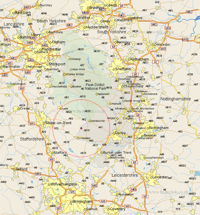
Derbyshire Map Showing Location of Norbury
Population: 270
District: Derbyshire Dales
Easting: 412311 Northing: 341088
Latitude: 52.97 Longitude: -1.82
 = Norbury
District: Derbyshire Dales
Easting: 412311 Northing: 341088
Latitude: 52.97 Longitude: -1.82
= Norbury
This Norbury map below is supplied by Google. Use the tools in the top left corner to zoom into street level or zoom out for a road map, you may also need to zoom in to see Norbury on the map. Click and drag the map to move around. If the map fails to load try and refresh your browser or zoom in or out (+ or -).
Update - it seems Google no longer allow people to use their maps for free! This Norbury map sometimes loads and sometimes gives a error. I am working on a solution.
Closest 30 Towns or Cities to Norbury (Population over 500)
Clifton 5.8km Doveridge 7.42km Ashbourne 7.88km Sudbury 11.98km Church Broughton 12.13km Brailsford 13.52km Scropton 14.61km Brassington 17.1km Kirk Langley 17.16km Etwall 18.29km Burnaston 19.15km Egginton 20.77km Wirksworth 21.16km Quarndon 21.29km Derby 21.54km Winster 21.62km Duffield 22.32km Cromford 22.34km Bonsall 22.84km Newton Solney 22.87km Burton on Trent 22.88km Burton-on-Trent 22.88km Burton upon Trent 22.88km Findern 23.01km Middleton 23.22km Repton 23.24km Willington 23.24km Youlgreave 23.56km Holbrook 23.72km Matlock Bath 23.75km