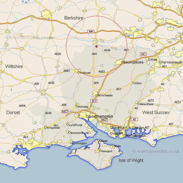
Hampshire Map Showing Location of Newtown
Population: 334
District: Basingstoke and Deane
Easting: 447565 Northing: 163347
Latitude: 51.37 Longitude: -1.32
 = Newtown
District: Basingstoke and Deane
Easting: 447565 Northing: 163347
Latitude: 51.37 Longitude: -1.32
= Newtown
This Newtown map below is supplied by Google. Use the tools in the top left corner to zoom into street level or zoom out for a road map, you may also need to zoom in to see Newtown on the map. Click and drag the map to move around. If the map fails to load try and refresh your browser or zoom in or out (+ or -).
Update - it seems Google no longer allow people to use their maps for free! This Newtown map sometimes loads and sometimes gives a error. I am working on a solution.
Closest 30 Towns or Cities to Newtown (Population over 500)
Highclere 3.89km Ecchinswell 5.08km Burghclere 5.56km East Woodhay 7.19km Kingsclere 7.23km Baughurst 11.06km Tadley 12.86km Hurstbourne Tarrant 14.47km Overton 15.54km Vernham Dean 15.75km Vernhams Dean 15.75km Oakley 15.95km Whitchurch 16.72km Silchester 17.46km Tangley 17.8km Bramley 18.23km Basingstoke 19.66km North Waltham 20.73km Longparish 21.2km Andover 21.86km Dummer 21.86km Sherfield upon Loddon 22.12km Sherfield 22.12km Barton Stacey 22.51km Basing 22.61km Upper Clatford 23.46km Wonston 24.1km Abbots Ann 24.69km Abbotts Ann 24.69km Lower Clatford 25.08km