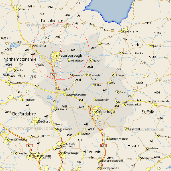
Cambridgeshire Map Showing Location of Newborough
Population: 1377
Easting: 520720 Northing: 303635
Latitude: 52.62 Longitude: -0.22
 = Newborough
Easting: 520720 Northing: 303635
Latitude: 52.62 Longitude: -0.22
= Newborough
This Newborough map below is supplied by Google. Use the tools in the top left corner to zoom into street level or zoom out for a road map, you may also need to zoom in to see Newborough on the map. Click and drag the map to move around. If the map fails to load try and refresh your browser or zoom in or out (+ or -).
Update - it seems Google no longer allow people to use their maps for free! This Newborough map sometimes loads and sometimes gives a error. I am working on a solution.
Closest 30 Towns or Cities to Newborough (Population over 500)
Newborough 0km Eye 2.92km Peterborough 4.34km Peterbrough 4.34km Petersborough 4.34km Glinton 4.86km Northborough 5.83km Helpstone 7.88km Helpston 7.88km Thorney 7.88km Orton Waterville 9.31km Whittlesey 9.31km Farcet 9.34km Castor 9.64km Barnack 12.38km Yaxley 13.17km Elton 14.59km Stilton 15.5km Wittering 15.86km Folksworth 15.87km Holme 16.72km Ramsey 19.73km Sawtry 20.67km March 21.58km Wimblington 23.14km Bury 23.6km Doddington 24.23km Wistow 25.36km Newton 25.36km Chatteris 25.86km