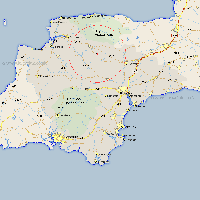
Devon Map Showing Location of Meshaw
Population: 151
District: North Devon
Easting: 275960 Northing: 120132
Latitude: 50.97 Longitude: -3.77
 = Meshaw
District: North Devon
Easting: 275960 Northing: 120132
Latitude: 50.97 Longitude: -3.77
= Meshaw
This Meshaw map below is supplied by Google. Use the tools in the top left corner to zoom into street level or zoom out for a road map, you may also need to zoom in to see Meshaw on the map. Click and drag the map to move around. If the map fails to load try and refresh your browser or zoom in or out (+ or -).
Update - it seems Google no longer allow people to use their maps for free! This Meshaw map sometimes loads and sometimes gives a error. I am working on a solution.
Closest 30 Towns or Cities to Meshaw (Population over 500)
Witheridge 6.57km South Molton 7.26km Chawleigh 8.76km Chulmleigh 8.94km North Molton 9.55km Lapford 11.37km Morchard Bishop 13.03km Burrington 13.37km Barrington 13.37km Chittlehampton 13.98km High Bickington 16.34km Cheriton Fitzpaine 16.7km Swimbridge 16.78km Sandford 18.09km Copplestone 18.57km Nymet Tracey 18.86km Bow 18.86km Bampton 19.92km North Tawton 20.76km Dolton 20.86km Bratton Fleming 21.04km Tiverton 21.2km Tawstock 21.88km Crediton 21.97km Barnstaple 23.68km Sampford Courtnay 24.11km Sampford Courtenay 24.11km Sampford Courtney 24.11km Thorverton 24.73km Saint Cyres 25.13km