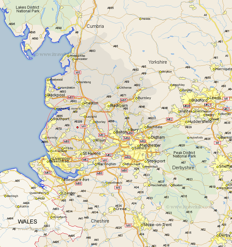
Lancashire Map Showing Location of Mawdesley
Population: 1787
District: Chorley
Easting: 349289 Northing: 413649
Latitude: 53.62 Longitude: -2.77
 = Mawdesley
District: Chorley
Easting: 349289 Northing: 413649
Latitude: 53.62 Longitude: -2.77
= Mawdesley
This Mawdesley map below is supplied by Google. Use the tools in the top left corner to zoom into street level or zoom out for a road map, you may also need to zoom in to see Mawdesley on the map. Click and drag the map to move around. If the map fails to load try and refresh your browser or zoom in or out (+ or -).
Update - it seems Google no longer allow people to use their maps for free! This Mawdesley map sometimes loads and sometimes gives a error. I am working on a solution.
Closest 30 Towns or Cities to Mawdesley (Population over 500)
Croston 3.7km Parbold 3.71km Eccleston 3.78km Penrith 4.31km Rufford 4.4km Burscough 5.75km Bretherton 5.98km Lathom 6.46km Appley Bridge 6.47km Tarleton 7.09km Euxton 7.56km Standish 7.57km Coppull 7.7km Shevington 7.82km Leyland 8.61km Much Hoole 9.52km Hoole 9.52km Skelmersdale 9.53km Ormskirk 10.41km Chorley 10.56km Scarisbrick 11.15km Adlington 11.15km Rainford 11.33km Longton 11.33km Heapey 11.34km Farington 11.96km Farrington 11.96km Bickerstaffe 11.96km Haigh 12.24km Banks 12.35km