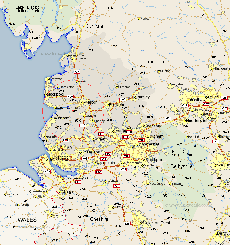
Lancashire Map Showing Location of Longton
Population: 11786
Area Size (ha): 434
District: South Ribble
Easting: 347210 Northing: 424798
Latitude: 53.72 Longitude: -2.8
 = Longton
Area Size (ha): 434
District: South Ribble
Easting: 347210 Northing: 424798
Latitude: 53.72 Longitude: -2.8
= Longton
This Longton map below is supplied by Google. Use the tools in the top left corner to zoom into street level or zoom out for a road map, you may also need to zoom in to see Longton on the map. Click and drag the map to move around. If the map fails to load try and refresh your browser or zoom in or out (+ or -).
Update - it seems Google no longer allow people to use their maps for free! This Longton map sometimes loads and sometimes gives a error. I am working on a solution.
Closest 30 Towns or Cities to Longton (Population over 500)
Longton 0km Hoole 1.86km Much Hoole 1.86km Hutton 2.87km Lea Town 5.56km Lea 5.56km Bretherton 5.56km Freckleton 5.74km Penwortham 5.74km Tarleton 5.98km Farington 6.58km Farrington 6.58km Leyland 7.56km Croston 7.73km Warton 7.81km Preston 7.81km Banks 8.53km Kirkham 8.61km Penrith 8.62km Woodplumpton 9.83km Eccleston 10.78km Lytham Saint Anne's 11.12km Lytham St Anne's 11.12km Lytham St. Anne's 11.12km Lytham 11.12km Rufford 11.33km Mawdesley 11.33km Plumpton 11.48km Euxton 11.49km Broughton 11.95km