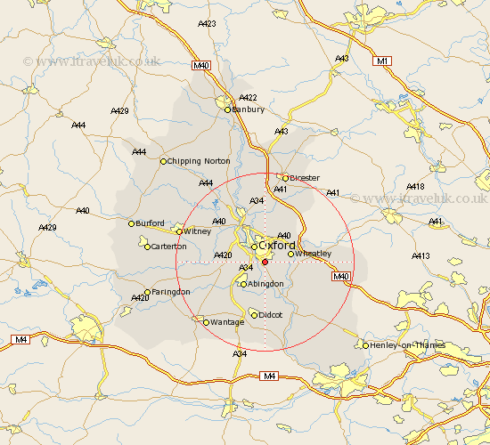
Oxfordshire Map Showing Location of Littlemore
Population: 7421
District: Oxford
Easting: 454109 Northing: 202338
Latitude: 51.72 Longitude: -1.22
 = Littlemore
District: Oxford
Easting: 454109 Northing: 202338
Latitude: 51.72 Longitude: -1.22
= Littlemore
This Littlemore map below is supplied by Google. Use the tools in the top left corner to zoom into street level or zoom out for a road map, you may also need to zoom in to see Littlemore on the map. Click and drag the map to move around. If the map fails to load try and refresh your browser or zoom in or out (+ or -).
Update - it seems Google no longer allow people to use their maps for free! This Littlemore map sometimes loads and sometimes gives a error. I am working on a solution.
Closest 30 Towns or Cities to Littlemore (Population over 500)
Radley 3.88km Oxford 4.36km North Hinksey 4.95km Garsington 4.96km Cuddesdon 5.74km Sunningwell 5.91km Wheatley 6.03km Wootton 6.03km Abingdon 7.21km Abingdon on Thames 7.21km Abingdon-on-Thames 7.21km Clifton Hampden 7.51km Beckley 7.75km Stadhampton 7.99km Cumnor 8.04km Great Milton 9.19km Milton 9.19km Long Wittenham 9.34km Drayton 9.38km Drayton Saint Leonard 9.38km Drayton St. Leonard 9.38km Drayton St Leonard 9.38km Dorchester 9.89km Sutton Courtenay 9.89km Tiddington 10.49km Great Haseley 10.5km Yarnton 10.89km Drayton 10.91km Marcham 10.94km Islip 11.18km