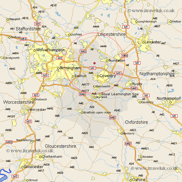
Warwickshire Map Showing Location of Arley
Population: 2798
District: North Warwickshire
Easting: 428282 Northing: 289244
Latitude: 52.5 Longitude: -1.58
 = Arley
District: North Warwickshire
Easting: 428282 Northing: 289244
Latitude: 52.5 Longitude: -1.58
= Arley
This Arley map below is supplied by Google. Use the tools in the top left corner to zoom into street level or zoom out for a road map, you may also need to zoom in to see Arley on the map. Click and drag the map to move around. If the map fails to load try and refresh your browser or zoom in or out (+ or -).
Update - it seems Google no longer allow people to use their maps for free! This Arley map sometimes loads and sometimes gives a error. I am working on a solution.
Closest 30 Towns or Cities to Arley (Population over 500)
Shustoke 3.38km Fillongley 3.7km Nether Whitacre 5.84km Corley 6km Hurley 6.51km Atherstone 7.75km Meriden 7.75km Coleshill 7.9km Nuneaton 8.11km Keresley 8.15km Mancetter 8.68km Bedworth 8.72km Kingsbury 8.76km Allesley 9.53km Coventry 9.53km Water Orton 10.15km Bickenhill 10.61km Dordon 10.83km Grendon 11.18km Polesworth 11.18km Berkeswell 11.62km Berkswell 11.62km Bulkington 11.88km Hampton in Arden 12.18km Orton-on-the-Hill 13.41km Orton on the Hill 13.41km Orton 13.41km Castle Bromwich 13.54km Shilton 13.6km Middleton 13.74km