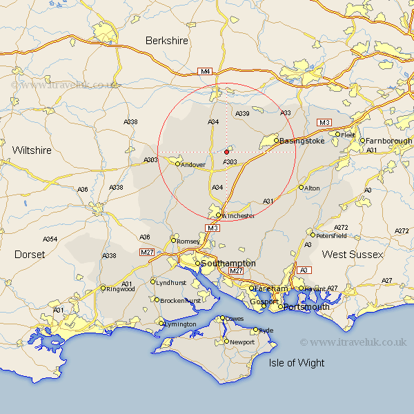
Hampshire Map Showing Location of Laverstoke
Population: 435
District: Basingstoke and Deane
Easting: 450030 Northing: 148536
Latitude: 51.23 Longitude: -1.28
 = Laverstoke
District: Basingstoke and Deane
Easting: 450030 Northing: 148536
Latitude: 51.23 Longitude: -1.28
= Laverstoke
This Laverstoke map below is supplied by Google. Use the tools in the top left corner to zoom into street level or zoom out for a road map, you may also need to zoom in to see Laverstoke on the map. Click and drag the map to move around. If the map fails to load try and refresh your browser or zoom in or out (+ or -).
Update - it seems Google no longer allow people to use their maps for free! This Laverstoke map sometimes loads and sometimes gives a error. I am working on a solution.
Closest 30 Towns or Cities to Laverstoke (Population over 500)
Overton 2.32km Whitchurch 3.94km Oakley 7.21km North Waltham 7.89km Barton Stacey 9.41km Wonston 9.55km Burghclere 9.56km Kingsclere 9.56km Longparish 9.85km Dummer 10km Ecchinswell 11.18km Micheldever 11.18km Highclere 11.65km Hurstbourne Tarrant 12.18km Baughurst 13.76km Chilbolton 13.97km Basingstoke 14.41km Andover 14.41km Upper Clatford 15km Goodworth Clatford 15.78km Clatford 15.78km Lower Clatford 15.78km East Woodhay 15.95km Tadley 16.65km Tangley 16.66km Kings Worthy 16.72km Abbots Ann 17.18km Abbotts Ann 17.18km Bramley 17.7km Basing 17.79km