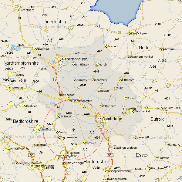
Cambridgeshire Map Showing Location of Hatley Saint George
Population: 205
District: South Cambridgeshire
Easting: 527748 Northing: 250021
Latitude: 52.13 Longitude: -0.13
 = Hatley Saint George
District: South Cambridgeshire
Easting: 527748 Northing: 250021
Latitude: 52.13 Longitude: -0.13
= Hatley Saint George
This Hatley Saint George map below is supplied by Google. Use the tools in the top left corner to zoom into street level or zoom out for a road map, you may also need to zoom in to see Hatley Saint George on the map. Click and drag the map to move around. If the map fails to load try and refresh your browser or zoom in or out (+ or -).
Update - it seems Google no longer allow people to use their maps for free! This Hatley Saint George map sometimes loads and sometimes gives a error. I am working on a solution.
Closest 30 Towns or Cities to Hatley Saint George (Population over 500)
Gamlingay 3.88km Great Gransden 5.56km Gransden 5.56km Guilden Morden 5.56km Bourn 7.95km Orwell 7.96km Litlington 8.16km Steeple Morden 9.33km Bassingbourn 9.34km Toft 9.71km Meldreth 10.89km Papworth Everard 11.18km Papworth 11.18km Needham Market 11.52km Barrington 11.53km Melbourn 11.66km Melborn 11.66km Haslingfield 12.51km Hardwicke 12.64km Hardwick 12.64km Shepreth 12.65km Comberton 12.66km Saint Neots 12.99km St. Neots 12.99km St Neots 12.99km Elsworth 13.75km Foxton 13.78km Eaton Socon 13.81km Great Paxton 14.16km Harston 14.79km