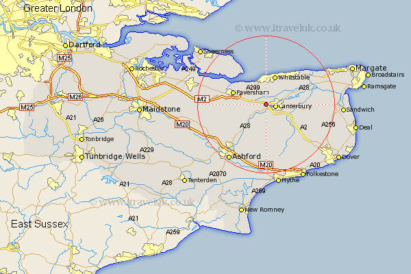
Kent Map Showing Location of Harbledown
Population: 2137
District: Canterbury
Easting: 611507 Northing: 158222
Latitude: 51.28 Longitude: 1.03
 = Harbledown
District: Canterbury
Easting: 611507 Northing: 158222
Latitude: 51.28 Longitude: 1.03
= Harbledown
This Harbledown map below is supplied by Google. Use the tools in the top left corner to zoom into street level or zoom out for a road map, you may also need to zoom in to see Harbledown on the map. Click and drag the map to move around. If the map fails to load try and refresh your browser or zoom in or out (+ or -).
Update - it seems Google no longer allow people to use their maps for free! This Harbledown map sometimes loads and sometimes gives a error. I am working on a solution.
Closest 30 Towns or Cities to Harbledown (Population over 500)
Blean 2.19km Canterbury 2.88km Hackington 3.48km Dunkirk 3.48km Chartham 3.88km Sturry 5.8km Lower Hardres 6.02km Chilham 7.24km Petham 7.5km Chestfield 7.77km Bridge 8.03km Selling 8.32km Whitstable 8.76km Littlebourne 9.46km Faversham 9.99km Hoath 10.81km Oare 11.07km Broomfield 11.09km Stelling 11.36km Herne Bay 11.59km Ospringe 11.74km Chislet 12.85km Wingham 12.89km Wye 13.12km Preston 14.03km Leysdown on Sea 15.3km Leysdown 15.3km Leysdown-on-Sea 15.3km Staple 15.52km Elham 15.92km