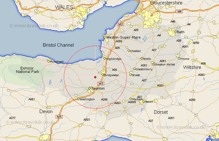
Somerset Map Showing Location of Goathurst
Population: 235
District: Sedgemoor
Easting: 325321 Northing: 134010
Latitude: 51.1 Longitude: -3.07
 = Goathurst
District: Sedgemoor
Easting: 325321 Northing: 134010
Latitude: 51.1 Longitude: -3.07
= Goathurst
This Goathurst map below is supplied by Google. Use the tools in the top left corner to zoom into street level or zoom out for a road map, you may also need to zoom in to see Goathurst on the map. Click and drag the map to move around. If the map fails to load try and refresh your browser or zoom in or out (+ or -).
Update - it seems Google no longer allow people to use their maps for free! This Goathurst map sometimes loads and sometimes gives a error. I am working on a solution.
Closest 30 Towns or Cities to Goathurst (Population over 500)
Durleigh 2.19km North Petherton 3.49km Spaxton 3.95km Bridgewater 5.01km Bridgwater 5.01km Kingston 5.09km West Monkton 5.68km Taunton 8.2km Nether Stowey 8.92km Bishops Lydeard 8.95km Otterhampton 9.33km Norton Fitzwarren 9.43km Weston Zoyland 9.49km Creech St. Michael 9.9km Creech St Michael 9.9km Creech Saint Michael 9.9km Puriton 10.18km Stoke Courcy 10.36km Stogursey 10.36km Stokscourey 10.36km Pawlett 10.36km North Curry 11.6km Middlezoy 11.64km Trull 11.66km Cossington 11.85km Stoke Saint Gregory 11.91km Stoke St Gregory 11.91km Stoke St. Gregory 11.91km Huntspill 12.55km Othery 12.94km