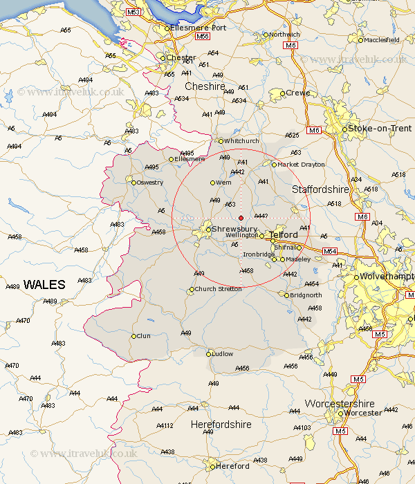
Shropshire Map Showing Location of High Ercall
Population: 1679
Easting: 359505 Northing: 317137
Latitude: 52.75 Longitude: -2.6
 = High Ercall
Easting: 359505 Northing: 317137
Latitude: 52.75 Longitude: -2.6
= High Ercall
This High Ercall map below is supplied by Google. Use the tools in the top left corner to zoom into street level or zoom out for a road map, you may also need to zoom in to see High Ercall on the map. Click and drag the map to move around. If the map fails to load try and refresh your browser or zoom in or out (+ or -).
Update - it seems Google no longer allow people to use their maps for free! This High Ercall map sometimes loads and sometimes gives a error. I am working on a solution.
Closest 30 Towns or Cities to High Ercall (Population over 500)
Rodington 2.17km Shawbury 5km Wrockwardine 6km Cherrington 6.98km Wellington 7.9km Hadnall 8.07km Stanton upon Hine Heath 8.14km Stanton 8.14km Hadley 9.63km Ketley 9.63km Shrewsbury 9.71km Trench 9.71km Telford 11.08km Hodnet 11.18km Donnington 11.82km Downington 11.82km Stoke upon Tern 11.99km Stoke 11.99km Edgmond 12.48km Oakengates 12.53km Dawley 12.9km Berrington 13km Cressage 13.02km Lilleshall 13.59km Wem 13.61km Hinstock 13.69km Baystonhill 13.71km Chetwynd 13.96km Bicton 14.7km Condover 15.03km