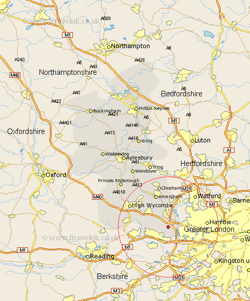
Buckinghamshire Map Showing Location of Fulmer
Population: 501
District: South Bucks
Easting: 500526 Northing: 184506
Latitude: 51.55 Longitude: -0.55
 = Fulmer
District: South Bucks
Easting: 500526 Northing: 184506
Latitude: 51.55 Longitude: -0.55
= Fulmer
This Fulmer map below is supplied by Google. Use the tools in the top left corner to zoom into street level or zoom out for a road map, you may also need to zoom in to see Fulmer on the map. Click and drag the map to move around. If the map fails to load try and refresh your browser or zoom in or out (+ or -).
Update - it seems Google no longer allow people to use their maps for free! This Fulmer map sometimes loads and sometimes gives a error. I am working on a solution.
Closest 30 Towns or Cities to Fulmer (Population over 500)
Denham 3.92km Hedgerley 3.92km Farnham Royal 4.97km Gerrards Cross 5.52km Chalfont St. Peter 5.56km Chalfont Saint Peter 5.56km Chalfont St Peter 5.56km Iver Heath 6.5km Iver 6.55km Chalfont St. Giles 7.51km Chalfont Saint Giles 7.51km Chalfont St Giles 7.51km Burnham 7.85km Beaconsfield 8km Dorney 8.88km Wooburn 9.4km Taplow 9.94km Bourne End 10.53km Flackwell Heath 11.76km Penn 11.83km Little Marlow 13.2km Amersham 13.77km Latimer 14.82km Marlow 15.09km Great Marlow 15.09km Hazlemere 15.2km Little Missenden 15.27km Hughenden 16.85km Chesham 17.03km Chepping 17.6km