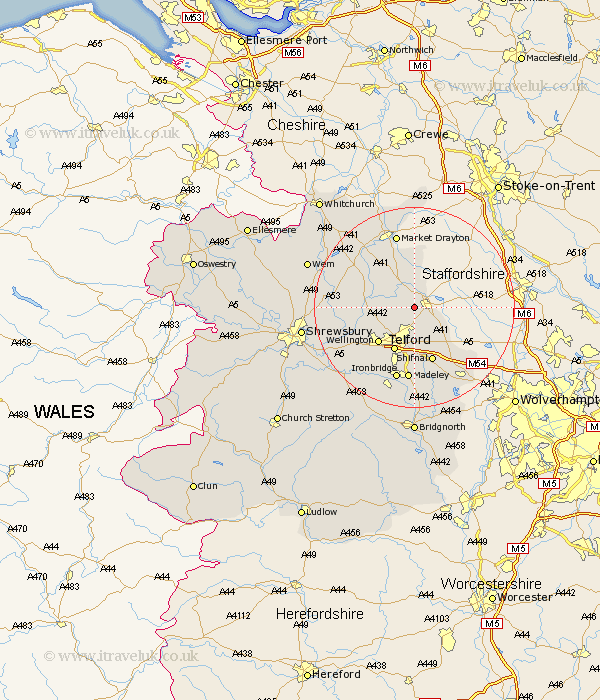
Shropshire Map Showing Location of Edgmond
Population: 1543
Area Size (ha): 38
Easting: 371889 Northing: 318907
Latitude: 52.77 Longitude: -2.42
 = Edgmond
Area Size (ha): 38
Easting: 371889 Northing: 318907
Latitude: 52.77 Longitude: -2.42
= Edgmond
This Edgmond map below is supplied by Google. Use the tools in the top left corner to zoom into street level or zoom out for a road map, you may also need to zoom in to see Edgmond on the map. Click and drag the map to move around. If the map fails to load try and refresh your browser or zoom in or out (+ or -).
Update - it seems Google no longer allow people to use their maps for free! This Edgmond map sometimes loads and sometimes gives a error. I am working on a solution.
Closest 30 Towns or Cities to Edgmond (Population over 500)
Chetwynd 2.16km Newport 2.9km Lilleshall 3.88km Cherrington 5.61km Donnington 5.67km Downington 5.67km Trench 6.5km Woodcote 6.73km Oakengates 7.5km Hinstock 7.74km Ketley 8.67km Hadley 8.67km Telford 9.71km Wellington 10.02km Cheswardine 11.12km Shifnal 11.62km Dawley 11.62km Stoke 12.14km Stoke upon Tern 12.14km Ercall Magna 12.48km High Ercall 12.48km Wrockwardine 12.53km Rodington 13.96km Hodnet 14.54km Madeley 14.88km Market Drayton 15.2km Ironbridge 15.21km Broughton 15.48km Shawbury 15.8km Stanton 16.65km