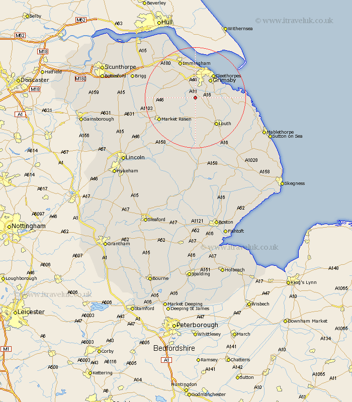
Lincolnshire Map Showing Location of East Ravendale
Population: 125
Easting: 523899 Northing: 398312
Latitude: 53.47 Longitude: -0.13
 = East Ravendale
Easting: 523899 Northing: 398312
Latitude: 53.47 Longitude: -0.13
= East Ravendale
This East Ravendale map below is supplied by Google. Use the tools in the top left corner to zoom into street level or zoom out for a road map, you may also need to zoom in to see East Ravendale on the map. Click and drag the map to move around. If the map fails to load try and refresh your browser or zoom in or out (+ or -).
Update - it seems Google no longer allow people to use their maps for free! This East Ravendale map sometimes loads and sometimes gives a error. I am working on a solution.
Closest 30 Towns or Cities to East Ravendale (Population over 500)
binbrook 4.98km North Thoresby 5.52km Waltham 5.98km Holton le Clay 7.1km Laceby 7.73km Tetney 7.94km Fulstow 7.94km Great Grimsby 9.23km Grimsby 9.23km Humberston 9.93km Humberstone 9.93km North Coates 11.03km Healing 11.34km Cleethorpes 11.38km Great Coates 11.6km Nettleton 12.27km Caistor 12.27km South Killingholme 12.94km Stallingborough 13.38km Keelby 13.53km Louth 13.54km Grainthorpe 14.34km Immingham 15.81km Market Rasen 16.17km Habrough 16.71km Middle Rasen 18.03km Grimoldby 18.16km North Kelsey 18.84km Manby 19.05km North Somercotes 19.13km