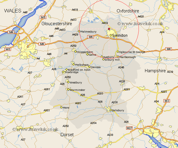
Wiltshire Map Showing Location of Blunsdon St. Andrew
Population: 5641
Easting: 413850 Northing: 189088
Latitude: 51.6 Longitude: -1.8
 = Blunsdon St. Andrew
Easting: 413850 Northing: 189088
Latitude: 51.6 Longitude: -1.8
= Blunsdon St. Andrew
This Blunsdon St. Andrew map below is supplied by Google. Use the tools in the top left corner to zoom into street level or zoom out for a road map, you may also need to zoom in to see Blunsdon St. Andrew on the map. Click and drag the map to move around. If the map fails to load try and refresh your browser or zoom in or out (+ or -).
Update - it seems Google no longer allow people to use their maps for free! This Blunsdon St. Andrew map sometimes loads and sometimes gives a error. I am working on a solution.
Closest 30 Towns or Cities to Blunsdon St. Andrew (Population over 500)
Blunsdon St. Andrew 0km Blunsdon St Andrew 0km Blunsdon Saint Andrew 0km Blunsdon 0km Stratton Saint Margaret 3.92km Stratton St Margaret 3.92km Stratton St. Margaret 3.92km Stratton 3.92km Swindon 4.95km Purton 4.96km Cricklade 5.06km Lydiard Millicent 5.91km Highworth 7.15km Wroughton 9.33km Ashton Keynes 9.92km Wooton Bassett 10.14km Wootton Bassett 10.14km Wanborough 10.14km Minety 10.52km Chiseldon 12.52km Broad Hinton 13.18km Bishopstone 13.7km Broad Town 13.77km Brinkworth 13.84km Lyneham 14.79km Hilmarton 18.78km Hillmarton 18.78km Crudwell 18.78km Lea 18.79km Baydon 18.97km