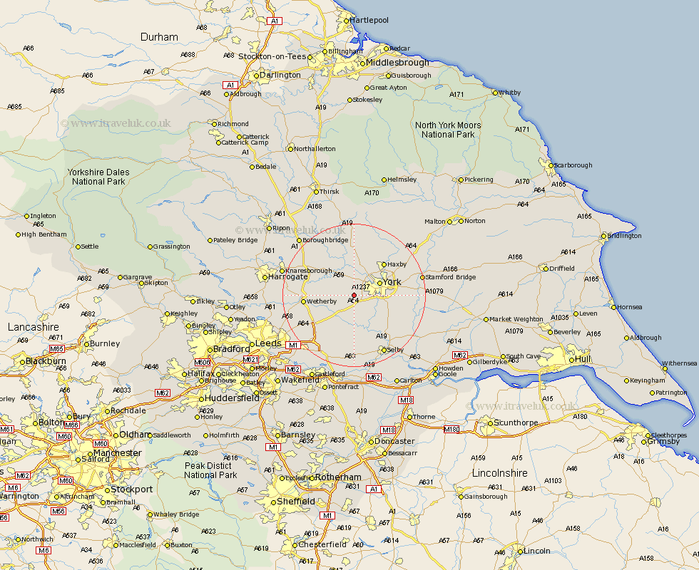
Yorkshire Map Showing Location of Askham Richard
Population: 273
Easting: 453612 Northing: 448906
Latitude: 53.93 Longitude: -1.18
 = Askham Richard
Easting: 453612 Northing: 448906
Latitude: 53.93 Longitude: -1.18
= Askham Richard
This Askham Richard map below is supplied by Google. Use the tools in the top left corner to zoom into street level or zoom out for a road map, you may also need to zoom in to see Askham Richard on the map. Click and drag the map to move around. If the map fails to load try and refresh your browser or zoom in or out (+ or -).
Update - it seems Google no longer allow people to use their maps for free! This Askham Richard map sometimes loads and sometimes gives a error. I am working on a solution.
Closest 30 Towns or Cities to Askham Richard (Population over 500)
Rufforth 2.15km Copmanthorpe 3.76km Long Marston 3.76km Poppleton 4.31km Upper Poppleton 4.31km Bishopthorpe 5.45km Bishopthorne 5.45km Acaster Malbis 6.6km Clifton 6.6km York 7.52km Tadcaster 7.79km Skelton 8.11km New Earswick 9.44km Kirk Hammerton 9.44km Hammerton 9.44km Ulleskelf 9.52km Heslington 9.99km Thorpe Arch 9.99km Thorp Arch 9.99km Escrick 10.35km Green Hammerton 10.64km Shipton 11.33km Newton 11.33km Newton upon Ouse 11.33km Huntington 11.45km Earswick 11.45km Boston Spa 11.53km Linton upon Ouse 11.94km Linton 11.94km Linton on Ouse 11.94km