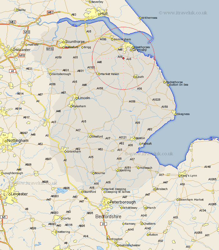
Lincolnshire Map Showing Location of Ashby
Population: 248
Easting: 524956 Northing: 400187
Latitude: 53.48 Longitude: -0.12
 = Ashby
Easting: 524956 Northing: 400187
Latitude: 53.48 Longitude: -0.12
= Ashby
This Ashby map below is supplied by Google. Use the tools in the top left corner to zoom into street level or zoom out for a road map, you may also need to zoom in to see Ashby on the map. Click and drag the map to move around. If the map fails to load try and refresh your browser or zoom in or out (+ or -).
Update - it seems Google no longer allow people to use their maps for free! This Ashby map sometimes loads and sometimes gives a error. I am working on a solution.
Closest 30 Towns or Cities to Ashby (Population over 500)
Waltham 3.87km North Thoresby 4.78km Holton le Clay 4.97km Laceby 6.47km Tetney 6.62km Great Grimsby 7.1km Grimsby 7.1km binbrook 7.1km Fulstow 7.58km Humberstone 7.83km Humberston 7.83km Cleethorpes 9.24km Great Coates 9.53km Healing 9.85km North Coates 10.1km Stallingborough 11.96km South Killingholme 12.06km Keelby 12.79km Nettleton 13.23km Caistor 13.23km Grainthorpe 13.36km Louth 14.56km Immingham 14.56km Habrough 15.68km Market Rasen 18.16km North Somercotes 18.51km Grimoldby 18.54km Manby 19.34km North Kelsey 19.85km Middle Rasen 19.95km