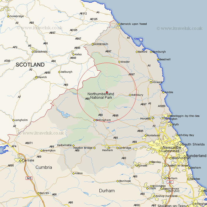
Northumberland Map Showing Location of Alwinton
Population: 71
District: Alnwick
Easting: 392599 Northing: 604370
Latitude: 55.33 Longitude: -2.12
 = Alwinton
District: Alnwick
Easting: 392599 Northing: 604370
Latitude: 55.33 Longitude: -2.12
= Alwinton
This Alwinton map below is supplied by Google. Use the tools in the top left corner to zoom into street level or zoom out for a road map, you may also need to zoom in to see Alwinton on the map. Click and drag the map to move around. If the map fails to load try and refresh your browser or zoom in or out (+ or -).
Update - it seems Google no longer allow people to use their maps for free! This Alwinton map sometimes loads and sometimes gives a error. I am working on a solution.
Closest 30 Towns or Cities to Alwinton (Population over 500)
Otterburn 13.35km Rothbury 13.83km Bellingham 21.68km Longframlington 21.82km Wooler 23.43km Swarland 24.54km Longhorsley 24.8km Felton 26.95km Alnwick 27.36km Almwick 27.36km Shilbottle 27.65km East Thirston 27.98km Thirston 27.98km Wark 30.32km Warkworth 31.67km Lesbury 32.09km Lisburg 32.09km Hebron 32.13km Morpeth 33.13km Humshaugh 33.37km Chollerton 33.38km Challerton 33.38km Alnmouth 33.48km Amble 33.73km East Chevington 34.21km Belford 34.62km Lowick 34.67km Embleton 35.7km Pegswood 35.8km Hepscott 35.93km