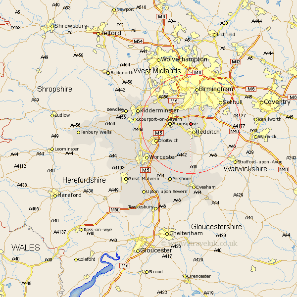
Worcestershire Map Showing Location of Alvechurch
Population: 3233
Area Size (ha): 99
District: Bromsgrove
Easting: 403406 Northing: 270623
Latitude: 52.33 Longitude: -1.95
 = Alvechurch
Area Size (ha): 99
District: Bromsgrove
Easting: 403406 Northing: 270623
Latitude: 52.33 Longitude: -1.95
= Alvechurch
This Alvechurch map below is supplied by Google. Use the tools in the top left corner to zoom into street level or zoom out for a road map, you may also need to zoom in to see Alvechurch on the map. Click and drag the map to move around. If the map fails to load try and refresh your browser or zoom in or out (+ or -).
Update - it seems Google no longer allow people to use their maps for free! This Alvechurch map sometimes loads and sometimes gives a error. I am working on a solution.
Closest 30 Towns or Cities to Alvechurch (Population over 500)
Barnt Green 2.93km Beoley 3.87km Radditch 3.87km Redditch 3.87km Coston Hackett 4.35km Cofton Hackett 4.35km Lickey 7.74km Lickey End 7.74km Bromsgrove 7.93km Stoke Prior 8.75km Astwood Bank 9.33km Feckenham 9.54km Hanbury 10.05km Dodford 10.36km Great Dodford 10.36km Romsley 11.49km Belbroughton 13.53km Clent 14.63km Halesowen 14.64km Chaddesley Corbett 14.84km Inkberrow 14.87km Droitwich 15.49km Hagley 15.86km Stone 17.38km Churchill 18.35km Crowle 18.66km Netherton 18.97km Bishampton 19.07km Oldbury 19.08km Hartlebury 19.25km