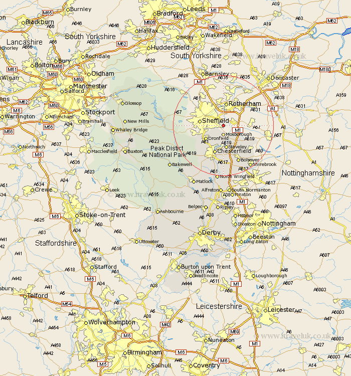
Derbyshire Map Showing Location of Woodhouse
District: North East Derbyshire
Easting: 442154 Northing: 383895
Latitude: 53.35 Longitude: -1.37
 = Woodhouse
Easting: 442154 Northing: 383895
Latitude: 53.35 Longitude: -1.37
= Woodhouse
This Woodhouse map below is supplied by Google. Use the tools in the top left corner to zoom into street level or zoom out for a road map, you may also need to zoom in to see Woodhouse on the map. Click and drag the map to move around. If the map fails to load try and refresh your browser or zoom in or out (+ or -).
Update - it seems Google no longer allow people to use their maps for free! This Woodhouse map sometimes loads and sometimes gives a error. I am working on a solution.
Closest 30 Towns or Cities to Woodhouse (Population over 500)
Mosborough 3.7km Mosbrough 3.7km Killamarsh 4.97km Eckington 5.56km Unstone 8.64km Dronfield 8.66km Barlborough 9.25km Staveley 9.33km Brimington 11.34km Chesterfield 11.61km Barlow 12.08km Clowne 12.08km Whitwell 12.42km Holmesfield 12.42km Elmton 13.56km Creswell 14.93km Cresswell 14.93km Brampton 15.71km Old Brampton 15.71km Bolsover 15.82km Walton 16.25km Heath 16.83km Wingerworth 17.26km Ault Hucknall 19.06km Hathersage 19.17km Grindleford Bridge 19.2km Grindleford 19.2km Shirebrook 19.43km Stony Middleton 20.98km Stoney Middleton 20.98km